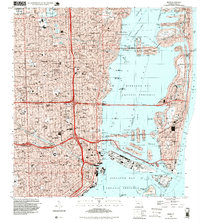
1994 Map of Miami
USGS Topo · Published 1999About this map
The dense urban corridor of Miami and Miami Beach is mapped here during a decade of significant growth, showing the intricate network of bridges and causeways that link the mainland to the barrier islands. The map highlights the massive scale of Dodge Island and Lummus Island, critical hubs for maritime commerce and travel within the Biscayne Bay waters.
Find a feature on this map
108 named features on this map. Tap any name to fly to it.
Don’t see what you’re looking for? This feature index may not catch every label — zoom into the map to look around manually.
Map Details
Editions of this 1994 Miami Map
This is the sole edition of this map. No revisions or reprints were ever made.
Other maps of this area
1947 · North Miami
USGS Topo · 1:24,000
1947 · Key Biscayne
USGS Topo · 1:24,000
1949 · Opalocka
USGS Topo · 1:24,000
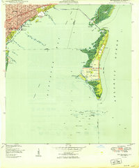
1949 · Key Biscayne
USGS Topo · 1:24,000
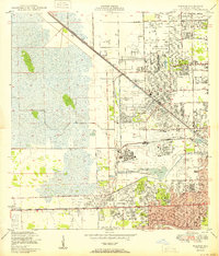
1950 · Hialeah
USGS Topo · 1:24,000
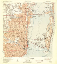
1950 · Miami
USGS Topo · 1:24,000
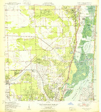
1950 · North Miami
USGS Topo · 1:24,000
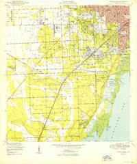
1950 · South Miami
USGS Topo · 1:24,000
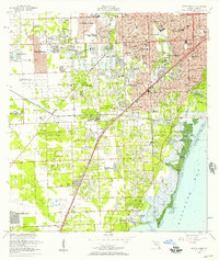
1956 · South Miami
USGS Topo · 1:24,000
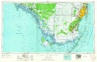
1956 · Miami
USGS Topo · 1:250,000