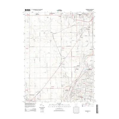
2013 Map of Miamisburg
USGS Topo · Published 2013About this map
The Great Miami River corridor south of Dayton reveals a dense network of suburban and rural settlements in the early 21st century. This survey documents the geography of Miamisburg and West Carrollton, characterized by the massive ancient earthwork of the Miamisburg Mound and the historic Germantown Covered Bridge to the southwest in Germantown. The landscape is dotted with significant local burial sites, including the expansive Dayton National Cem and smaller local grounds like the Gebhart Church Cem and Old Lutheran Cem.
Find a feature on this map
106 named features on this map. Tap any name to fly to it.
Don’t see what you’re looking for? This feature index may not catch every label — zoom into the map to look around manually.
Map Details
Editions of this 2013 Miamisburg Map
This is the sole edition of this map. No revisions or reprints were ever made.
Other maps of this area

1904 · Dayton
USGS Topo · 1:62,500

1905 · Brookville
USGS Topo · 1:62,500

1906 · Dayton
USGS Topo · 1:62,500

1908 · Miamisburg
USGS Topo · 1:62,500

1913 · Waynesville
USGS Topo · 1:62,500

1915 · Waynesville
USGS Topo · 1:62,500

1951 · Franklin
USGS Topo · 1:24,000

1953 · Cincinnati
USGS Topo · 1:250,000

1955 · Miamisburg
USGS Topo · 1:24,000

1955 · Dayton South
USGS Topo · 1:24,000