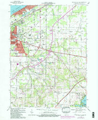
1969 Map of Michigan City East
USGS Topo · Published 1981About this map
The industrial and transportation corridor of Michigan City dominates this landscape along the southern shore of Lake Michigan. A dense network of railways, including the South Shore and South Bend, Norfolk and Western, and Chesapeake and Ohio, converges on the city, illustrating its importance as a regional hub during the late twentieth century. Beyond the urban limits of Trail Creek and Long Beach, the terrain transitions to the agricultural and open lands of Springfield and Coolspring townships.
Find a feature on this map
61 named features on this map. Tap any name to fly to it.
Don’t see what you’re looking for? This feature index may not catch every label — zoom into the map to look around manually.
Map Details
Editions of this 1969 Michigan City East Map
2 editions found
Other maps of this area

1930 · Three Oaks
USGS Topo · 1:62,500

1944 · Three Oaks
USGS Topo · 1:62,500

1953 · Westville
USGS Topo · 1:24,000

1953 · Michigan City West
USGS Topo · 1:24,000

1953 · Chicago
USGS Topo · 1:250,000

1957 · Chicago
USGS Topo · 1:250,000

1958 · Michigan City East
USGS Topo · 1:24,000

1958 · La Porte East
USGS Topo · 1:24,000

1958 · Springville
USGS Topo · 1:24,000
1961 · La Porte West
USGS Topo · 1:24,000