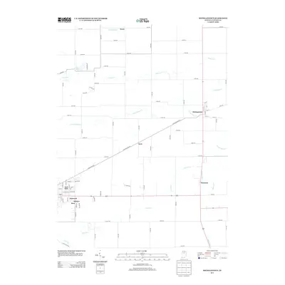
2013 Map of Michigantown
USGS Topo · Published 2013About this map
Michigantown sits at the intersection of a well-defined grid of county roads and drainage ditches in this Clinton County landscape. The settlement of Boyleston and the smaller community of Avery are connected by a network that includes E Michigan Town Rd, reflecting a traditional Midwestern agricultural layout where the management of water is paramount. Numerous man-made waterways like Mann Ditch, Talbert Ditch, and Walker Ditch crisscross the terrain, funneling into natural streams such as the S Fork Wildcat Cr.
Find a feature on this map
50 named features on this map. Tap any name to fly to it.
Don’t see what you’re looking for? This feature index may not catch every label — zoom into the map to look around manually.
Map Details
Editions of this 2013 Michigantown Map
This is the sole edition of this map. No revisions or reprints were ever made.
Other maps of this area

1953 · Danville
USGS Topo · 1:250,000

1955 · Danville
USGS Topo · 1:250,000

1956 · Danville
USGS Topo · 1:250,000

1961 · Michigantown
USGS Topo · 1:24,000

1961 · Russiaville
USGS Topo · 1:24,000

1961 · Mechanicsburg
USGS Topo · 1:24,000

1961 · Hillisburg
USGS Topo · 1:24,000

1961 · Rossville
USGS Topo · 1:24,000

1961 · Burlington
USGS Topo · 1:24,000

1961 · Frankfort
USGS Topo · 1:24,000