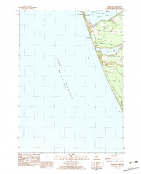
1983 Map of Michillinda
USGS Topo · Published 1983About this map
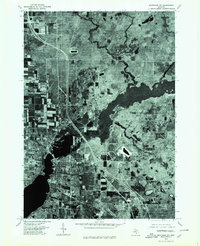
White Lake marks the northern extent of this Lake Michigan coastal survey, where the resort communities of Sylvan Beach and Wabaningo overlook the channel. The landscape is defined by the narrow stretch of land between the great lake and several inland water bodies, including Duck Lake and Muskrat Lake. This area, within Fruitland and White River Twp, shows a mix of recreational and residential development typical of the late 1970s and early 1980s.
Find a feature on this map
28 named features on this map. Tap any name to fly to it.
Don’t see what you’re looking for? This feature index may not catch every label — zoom into the map to look around manually.
Map Details
Editions of this 1983 Michillinda Map
2 editions found
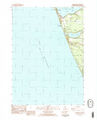
Other maps of this area

1929 · Montague
USGS Topo · 1:48,000

1930 · Lake Harbor
USGS Topo · 1:48,000

1936 · Lake Harbor
USGS Topo · 1:62,500

1954 · Milwaukee
USGS Topo · 1:250,000

1958 · Milwaukee
USGS Topo · 1:250,000

1959 · Montague
USGS Topo · 1:62,500
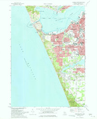
1972 · Muskegon West
USGS Topo · 1:24,000

1976 · Montague NW
USGS Topo · 1:24,000
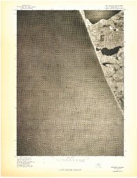
1976 · Montague SW
USGS Topo · 1:24,000
1976 · Montague NE
USGS Topo · 1:24,000
Featured Places
- Montague Township, MI
- Michillinda, MI
- Laketon Township, MI
- White River Township, MI
- Fruitland Township, MI