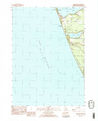
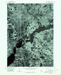
1983 Map of Michillinda
USGS Topo · Published 1983About this map
The Lake Michigan shoreline in the early 1980s is defined here by the thin, sandy peninsula separating the great lake from the sheltered waters of White Lake. This coastal corridor features the established resort and residential communities of Sylvan Beach, Wabaningo, and Michillinda, where narrow lanes like Murray Road and Scenic Drive wind through the dunes. The landscape shows a clear transition between high-density lakeside living and the interior topography of Fruitland and White River Twp.
Find a feature on this map
28 named features on this map. Tap any name to fly to it.
Don’t see what you’re looking for? This feature index may not catch every label — zoom into the map to look around manually.
Map Details
Editions of this 1983 Michillinda Map
2 editions found
Other maps of this area

1929 · Montague
USGS Topo · 1:48,000

1930 · Lake Harbor
USGS Topo · 1:48,000

1936 · Lake Harbor
USGS Topo · 1:62,500

1954 · Milwaukee
USGS Topo · 1:250,000

1958 · Milwaukee
USGS Topo · 1:250,000

1959 · Montague
USGS Topo · 1:62,500
1972 · Muskegon West
USGS Topo · 1:24,000

1976 · Montague NW
USGS Topo · 1:24,000
1976 · Montague SW
USGS Topo · 1:24,000
1976 · Montague NE
USGS Topo · 1:24,000
Featured Places
- Montague Township, MI
- Michillinda, MI
- Laketon Township, MI
- White River Township, MI
- Fruitland Township, MI