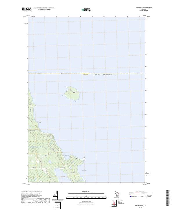
2023 Map of Middle Island
USGS Topo · Published 2023About this map
Middle Island sits prominently off the coast of Alpena and Presque Isle counties, defining the Lake Huron shoreline in this northern Michigan survey. The mainland is characterized by a network of local roads and coastal inlets, including Morris Bay and Lincoln Bay. Settlement patterns are concentrated along established routes like Monaghan Point Rd and Lappan Rd, while the interior remains defined by wetlands and small waterways such as Grass Creek and Long Lake Creek. The presence of Old Grade Rd suggests earlier industrial or transit corridors through the wooded lakefront terrain. Geologic and geographic markers like South Ninemile Point and Monaghan Point provide clear reference points for those studying the evolving shoreline and land use in this pocket of the Great Lakes region.
Find a feature on this map
39 named features on this map. Tap any name to fly to it.
Don’t see what you’re looking for? This feature index may not catch every label — zoom into the map to look around manually.
Map Details
Editions of this 2023 Middle Island Map
This is the sole edition of this map. No revisions or reprints were ever made.
Other maps of this area

1954 · Alpena
USGS Topo · 1:250,000

1957 · Alpena
USGS Topo · 1:250,000

1958 · Alpena
USGS Topo · 1:250,000

1969 · Alpena
USGS Topo · 1:250,000
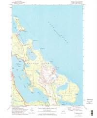
1971 · Presque Isle
USGS Topo · 1:24,000

1971 · Alpena
USGS Topo · 1:24,000
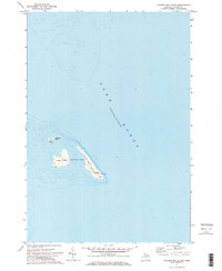
1971 · Thunder Bay Island
USGS Topo · 1:24,000

1971 · Middle Island
USGS Topo · 1:24,000

1971 · North Point
USGS Topo · 1:24,000
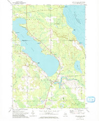
1971 · Long Lake East
USGS Topo · 1:24,000