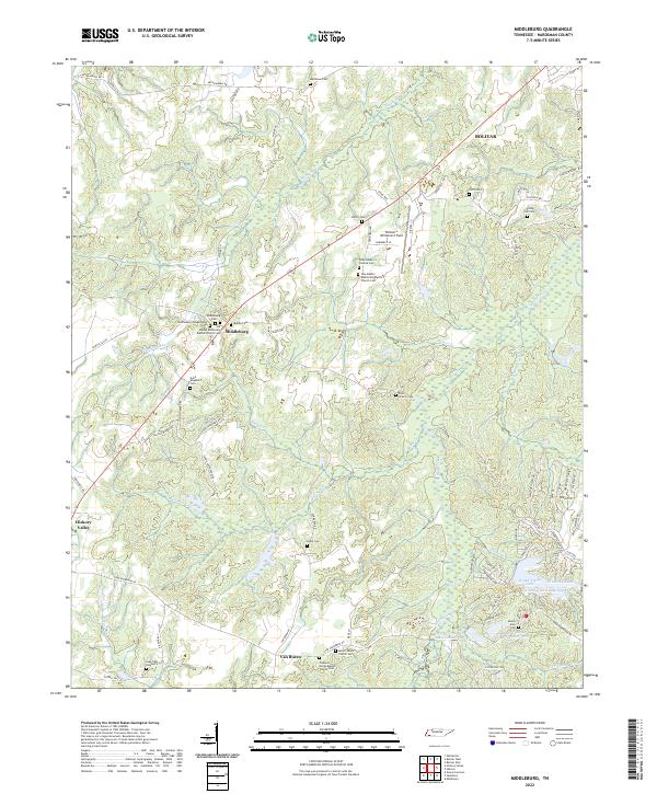
2022 Map of Middleburg
USGS Topo · Published 2022About this map
Middleburg serves as a central point in this rural Tennessee landscape, characterized by numerous family cemeteries and small country churches that define the social fabric of Hardeman County. The topography is shaped by the dendritic drainage of Pleasant Run and Spring Creek, which wind through the terrain alongside significant water bodies like Grand Valley Lake and Grand Valley Lake Number Two. This area reflects a long-standing pattern of dispersed agricultural settlement, where local identity is anchored to sites such as Bethel Missionary Baptist Church Cem and New Bethel Missionary Baptist Church Cem.
Find a feature on this map
83 named features on this map. Tap any name to fly to it.
Don’t see what you’re looking for? This feature index may not catch every label — zoom into the map to look around manually.
Map Details
Editions of this 2022 Middleburg Map
This is the sole edition of this map. No revisions or reprints were ever made.
Other maps of this area

1950 · Hebron
USGS Topo · 1:24,000

1950 · Middleburg
USGS Topo · 1:24,000

1950 · Middleton
USGS Topo · 1:24,000

1950 · Grand Junction
USGS Topo · 1:24,000

1951 · Middleton
USGS Topo · 1:24,000

1951 · Middleburg
USGS Topo · 1:24,000

1951 · Hebron
USGS Topo · 1:24,000

1951 · Hickory Valley
USGS Topo · 1:24,000

1951 · Grand Junction
USGS Topo · 1:24,000

1952 · Saulsbury
USGS Topo · 1:24,000