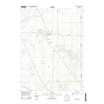
2013 Map of Middlefield
USGS Topo · Published 2013About this map
Middlefield sits at a crossroads of agriculture and early-20th-century aviation, where the village's grid meets the expansive rural landscape of Geauga County. This 2013 survey illustrates the local importance of the Grand River and its various tributaries, such as Swine Cr and Tare Cr, which carve through the glacial topography. Significant geographical markers include the Parkman Gorge and the distinct elevation of Sugarloaf, alongside modern infrastructure like the Geauga County Airport. The abundance of local family history is evident in the numerous burial grounds scattered across the township, including Middlefield Center Cem, Hayes Corners Cem, and Yoder Cem. Water features such as Sperry Pond and Lake Estabrook dot the northern and southern reaches, while major routes like Kinsman Rd and Tavern Rd connect these outlying farms and landmarks to the central settlement.
Find a feature on this map
40 named features on this map. Tap any name to fly to it.
Don’t see what you’re looking for? This feature index may not catch every label — zoom into the map to look around manually.
Map Details
Editions of this 2013 Middlefield Map
This is the sole edition of this map. No revisions or reprints were ever made.
Other maps of this area

1904 · Chardon
USGS Topo · 1:62,500

1905 · Bristolville
USGS Topo · 1:62,500

1905 · Garrettsville
USGS Topo · 1:62,500

1905 · Jefferson
USGS Topo · 1:62,500

1906 · Chardon
USGS Topo · 1:62,500

1907 · Bristolville
USGS Topo · 1:62,500

1907 · Jefferson
USGS Topo · 1:62,500

1907 · Garrettsville
USGS Topo · 1:62,500

1950 · Cleveland
USGS Topo · 1:250,000

1952 · West Farmington
USGS Topo · 1:24,000
Featured Places
- Mesopotamia Township, OH
- Farmington Township, OH
- Burton Township, OH
- Parkman Township, OH
- Burton Station, OH