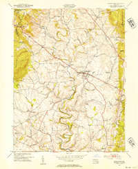
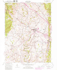
1953 Map of Middletown
USGS Topo · Published 1954About this map
Catoctin Creek winds through the central valley of this 1953 landscape, flanked by the prominent ridges of South Mountain to the west and Catoctin Mountain to the east. The town of Middletown serves as the primary hub, showing a concentrated street grid, a High School, and the nearby Middletown Reservoir. This mid-century view captures the transition from high-elevation forest and recreation at Washington Monument State Park and Gambrill State Park to the productive agricultural lands of the Locust Valley. Along the mountain crests, the Appalachian Trail follows the ridgeline, passing historic gaps like Turners Gap and Fox Gap. Smaller rural settlements including Bolivar, Burkittsville, and Arnoldtown are connected by a network of established local routes like Jefferson Road and Poffenberger Road, illustrating a well-settled valley defined by its geography and mountain passes.
Find a feature on this map
50 named features on this map. Tap any name to fly to it.
Don’t see what you’re looking for? This feature index may not catch every label — zoom into the map to look around manually.
Map Details
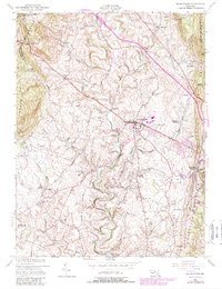
Editions of this 1953 Middletown Map
6 editions found
Other maps of this area

1884 · Harpers Ferry
USGS Topo · 1:125,000

1891 · Harpers Ferry
USGS Topo · 1:125,000

1893 · Frederick
USGS Topo · 1:125,000

1893 · Harpers Ferry
USGS Topo · 1:125,000

1894 · Frederick
USGS Topo · 1:125,000

1908 · Middletown
USGS Topo · 1:48,000

1908 · Ijamsville
USGS Topo · 1:62,500

1909 · Ijamsville
USGS Topo · 1:62,500

1909 · Hagerstown
USGS Topo · 1:48,000

1910 · Antietam
USGS Topo · 1:62,500