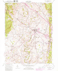
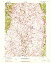
1953 Map of Middletown
USGS Topo · Published 1979About this map
Middletown Valley is defined by its deep agricultural and topographic character, flanked by the prominent ridgelines of South Mountain to the west and Catoctin Mountain to the east. The landscape is dotted with small, historic hamlets such as Zittlestown, Frostown, Bolivar, and Hawbottom, reflecting a settlement pattern tied to the gaps and fertile bottoms of the region. Catoctin Creek and its many tributaries, including Middle Creek and Broad Run, create a dense drainage network that dictated early road placements and land use.
Find a feature on this map
39 named features on this map. Tap any name to fly to it.
Don’t see what you’re looking for? This feature index may not catch every label — zoom into the map to look around manually.
Map Details
Editions of this 1953 Middletown Map
6 editions found
Other maps of this area

1884 · Harpers Ferry
USGS Topo · 1:125,000

1891 · Harpers Ferry
USGS Topo · 1:125,000

1893 · Frederick
USGS Topo · 1:125,000

1893 · Harpers Ferry
USGS Topo · 1:125,000

1894 · Frederick
USGS Topo · 1:125,000

1908 · Middletown
USGS Topo · 1:48,000

1908 · Ijamsville
USGS Topo · 1:62,500

1909 · Ijamsville
USGS Topo · 1:62,500

1909 · Hagerstown
USGS Topo · 1:48,000

1910 · Antietam
USGS Topo · 1:62,500