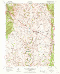
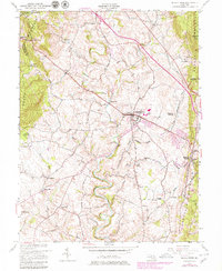
1953 Map of Middletown
USGS Topo · Published 1970About this map
South Mountain and Catoctin Mountain frame the fertile Middletown Valley in this mid-century look at western Maryland. The landscape is defined by its deep historical and commemorative roots, centered on the Washington Monument State Park and the Reno Monument near Zittlestown. In the lowlands, the town of Middletown serves as a central hub, surrounded by a dense network of country lanes like Old Hagerstown Road and Reno School Road. The survey preserves the locations of early rural landmarks, including the Pleasant View Ch and the small settlements of Bolivar, Spoolsville, and Frostown. Along the eastern edge, the topography rises sharply to Braddock Heights and Gambrill State Park, while Catoctin Creek meanders through the valley floor. This record captures the transition from a purely agricultural region to one increasingly influenced by the proximity of larger Frederick County developments.
Find a feature on this map
44 named features on this map. Tap any name to fly to it.
Don’t see what you’re looking for? This feature index may not catch every label — zoom into the map to look around manually.
Map Details
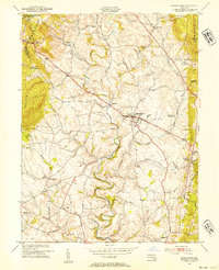
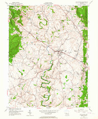
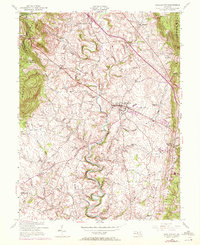
Editions of this 1953 Middletown Map
6 editions found
Other maps of this area

1884 · Harpers Ferry
USGS Topo · 1:125,000

1891 · Harpers Ferry
USGS Topo · 1:125,000

1893 · Frederick
USGS Topo · 1:125,000

1893 · Harpers Ferry
USGS Topo · 1:125,000

1894 · Frederick
USGS Topo · 1:125,000

1908 · Middletown
USGS Topo · 1:48,000

1908 · Ijamsville
USGS Topo · 1:62,500

1909 · Ijamsville
USGS Topo · 1:62,500

1909 · Hagerstown
USGS Topo · 1:48,000

1910 · Antietam
USGS Topo · 1:62,500