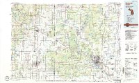
1954 Map of Midland
USGS Topo · Published 1974About this map
Central Michigan is defined by its sweeping river systems and established industrial hubs in this 1971 revision of a 1954 survey. Major population centers like Grand Rapids and Saginaw anchor the southern reaches, while the Tittabawassee River and Saginaw River converge at Midland, illustrating the critical role of these waterways in the region's development. Further north, the landscape shifts toward protected lands and recreation, highlighted by the Manistee National Forest and Houghton Lake. The map meticulously details the transit infrastructure of the mid-century, including the Grand Trunk Western RR and the Ann Arbor RR, which provided vital links for settlements such as Mount Pleasant and Alma. Researchers can observe the balance between early 1970s suburban growth and the established natural features like Hardy Dam Pond and Sanford Lake.
Find a feature on this map
220 named features on this map. Tap any name to fly to it.
Don’t see what you’re looking for? This feature index may not catch every label — zoom into the map to look around manually.
Map Details
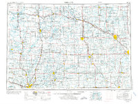
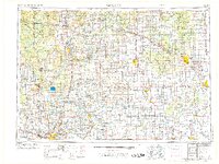
Editions of this 1954 Midland Map
4 editions found


Historical Maps of Grand Rapids Through Time
5 maps found