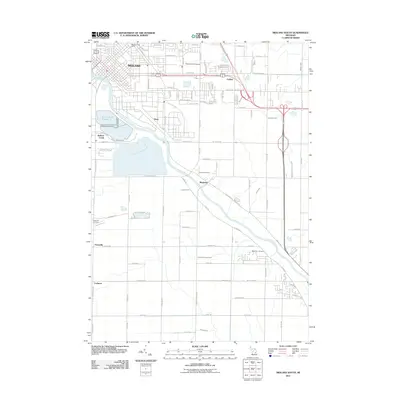
2011 Map of Midland South
USGS Topo · Published 2011About this map
The Tittabawassee River carves a diagonal path through this Michigan landscape, serving as a primary geographic anchor for the industrial and residential growth of south Midland. In the northern portion of the map, the city’s grid is well-established, featuring Davenport University and the Midland Post Office. Moving south and east, the landscape transitions into a network of managed water systems, including Brine Pond Number 6 and numerous agricultural and industrial waterways like the Lingle Drain and Shaffner and Major Drain.
Find a feature on this map
93 named features on this map. Tap any name to fly to it.
Don’t see what you’re looking for? This feature index may not catch every label — zoom into the map to look around manually.
Map Details
Editions of this 2011 Midland South Map
This is the sole edition of this map. No revisions or reprints were ever made.
Other maps of this area

1917 · St. Charles
USGS Topo · 1:62,500

1934 · Sanford
USGS Topo · 1:62,500

1934 · Merrill
USGS Topo · 1:62,500

1936 · Sanford
USGS Topo · 1:62,500

1937 · Merrill
USGS Topo · 1:62,500

1943 · St. Charles
USGS Topo · 1:62,500

1954 · Midland
USGS Topo · 1:250,000

1958 · Midland
USGS Topo · 1:250,000

1959 · Midland
USGS Topo · 1:250,000

1962 · Willard
USGS Topo · 1:24,000