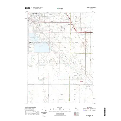
2019 Map of Midland South
USGS Topo · Published 2019About this map
The Midland County Courthouse anchors the northern reaches of this landscape, where the southern neighborhoods of Midland give way to the rural townships of the Saginaw Valley. The Tittabawassee River serves as the central geographic feature, winding southeast through a complex network of agricultural and industrial drainage systems including the Shaffner and Major Drain and Parker Swamp Drain. The presence of Brine Pond Number 6 near Bullock Creek points to the region's long-standing connection to the salt and chemical industries that helped build the local economy.
Find a feature on this map
144 named features on this map. Tap any name to fly to it.
Don’t see what you’re looking for? This feature index may not catch every label — zoom into the map to look around manually.
Map Details
Editions of this 2019 Midland South Map
This is the sole edition of this map. No revisions or reprints were ever made.
Other maps of this area

1917 · St. Charles
USGS Topo · 1:62,500

1934 · Sanford
USGS Topo · 1:62,500

1934 · Merrill
USGS Topo · 1:62,500

1936 · Sanford
USGS Topo · 1:62,500

1937 · Merrill
USGS Topo · 1:62,500

1943 · St. Charles
USGS Topo · 1:62,500

1954 · Midland
USGS Topo · 1:250,000

1958 · Midland
USGS Topo · 1:250,000

1959 · Midland
USGS Topo · 1:250,000

1962 · Willard
USGS Topo · 1:24,000