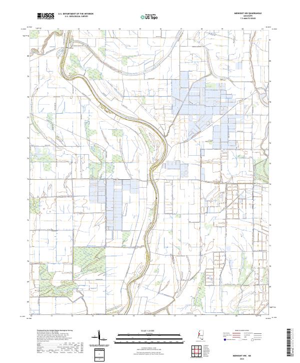
2024 Map of Midnight NW
USGS Topo · Published 2024About this map
Holt Collier National Wildlife Refuge dominates the western landscape of this Humphreys and Washington County borderland. Named for the famed African American hunter and guide who led Theodore Roosevelt on the bear hunt that inspired the teddy bear, the refuge preserves a vital stretch of bottomland hardwood forest. The Big Sunflower River meanders through the center of the sheet, its oxbows and bends defining the local drainage and property lines.
Find a feature on this map
41 named features on this map. Tap any name to fly to it.
Don’t see what you’re looking for? This feature index may not catch every label — zoom into the map to look around manually.
Map Details
Editions of this 2024 Midnight NW Map
This is the sole edition of this map. No revisions or reprints were ever made.
Other maps of this area

1939 · Tralake
USGS Topo · 1:62,500

1939 · Swan Lake
USGS Topo · 1:62,500

1940 · Auter
USGS Topo · 1:62,500

1940 · Baird
USGS Topo · 1:62,500

1953 · Greenwood
USGS Topo · 1:250,000

1956 · Greenwood
USGS Topo · 1:250,000
1965 · Richey
USGS Topo · 1:24,000
1965 · Midnight
USGS Topo · 1:24,000

1965 · Inverness
USGS Topo · 1:24,000

1965 · Kinlock
USGS Topo · 1:24,000