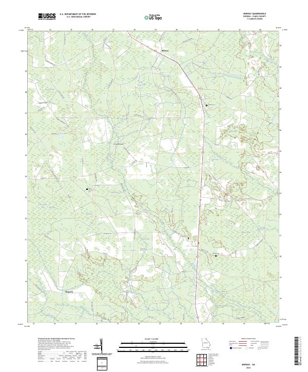
2024 Map of Midway
USGS Topo · Published 2024About this map
The low-lying wetlands of Midway and Magnolia define this Clinch County landscape, where numerous depressional basins known as "bays" dominate the terrain. These distinctive features, such as Schoolhouse Bay, Piney Bay, and Jordan Bay, reveal a complex hydrography typical of the Georgia coastal plain. The settlement pattern is largely rural, tied together by a network of local connectors like Stalvey Rd and Tower Rd, with much of the land allocated to timber or conservation as suggested by the lack of dense residential development.
Find a feature on this map
65 named features on this map. Tap any name to fly to it.
Don’t see what you’re looking for? This feature index may not catch every label — zoom into the map to look around manually.
Map Details
Editions of this 2024 Midway Map
This is the sole edition of this map. No revisions or reprints were ever made.
Other maps of this area

1953 · Waycross
USGS Topo · 1:250,000

1954 · Valdosta
USGS Topo · 1:250,000

1958 · Valdosta
USGS Topo · 1:250,000

1958 · Waycross
USGS Topo · 1:250,000

1959 · Valdosta
USGS Topo · 1:250,000

1967 · Spooner
USGS Topo · 1:24,000

1967 · Colon
USGS Topo · 1:24,000

1968 · Homerville East
USGS Topo · 1:24,000

1968 · Midway
USGS Topo · 1:24,000

1968 · Headlight
USGS Topo · 1:24,000