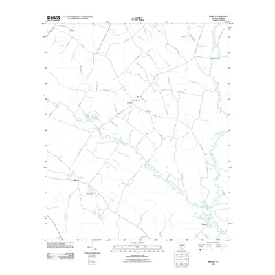
2011 Map of Midway
USGS Topo · Published 2011About this map
The South Fork Edisto River meanders through this landscape, defining the rural character of southeastern Bamberg County. This 2011 survey depicts a transition between agricultural lands and the densely wooded wetlands of Snake Swamp and Cooper Swamp. The drainage of these bottomlands is evidenced by the Isaac Jennings Canal, a legacy of early efforts to manage the water levels for agriculture or transport.
Find a feature on this map
77 named features on this map. Tap any name to fly to it.
Don’t see what you’re looking for? This feature index may not catch every label — zoom into the map to look around manually.
Map Details
Editions of this 2011 Midway Map
This is the sole edition of this map. No revisions or reprints were ever made.
Other maps of this area

1919 · Olar
USGS Topo · 1:62,500

1919 · Bamberg
USGS Topo · 1:48,000

1919 · Lodge
USGS Topo · 1:62,500

1920 · Lodge
USGS Topo · 1:48,000

1920 · Bamberg
USGS Topo · 1:62,500

1920 · Orangeburg
USGS Topo · 1:48,000

1921 · Orangeburg
USGS Topo · 1:62,500

1921 · Lodge
USGS Topo · 1:62,500

1943 · Olar
USGS Topo · 1:62,500

1943 · Lodge
USGS Topo · 1:62,500