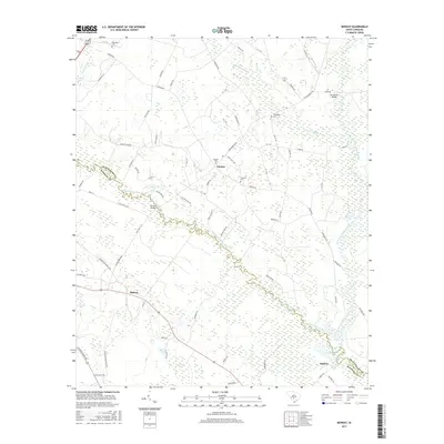
2017 Map of Midway
USGS Topo · Published 2017About this map
The South Fork Edisto River meanders across the landscape, forming the natural boundary between Orangeburg and Bamberg counties. This 2017 survey documents a region defined by its watercourses and rural settlements, where the river system meets extensive wetlands like Snake Swamp and Cooper Swamp. The convergence of the North and South forks to form the main Edisto River near Embree is a primary geographic focus, illustrating the intricate hydrology of the South Carolina Lowcountry.
Find a feature on this map
80 named features on this map. Tap any name to fly to it.
Don’t see what you’re looking for? This feature index may not catch every label — zoom into the map to look around manually.
Map Details
Editions of this 2017 Midway Map
This is the sole edition of this map. No revisions or reprints were ever made.
Other maps of this area

1919 · Olar
USGS Topo · 1:62,500

1919 · Bamberg
USGS Topo · 1:48,000

1919 · Lodge
USGS Topo · 1:62,500

1920 · Lodge
USGS Topo · 1:48,000

1920 · Bamberg
USGS Topo · 1:62,500

1920 · Orangeburg
USGS Topo · 1:48,000

1921 · Orangeburg
USGS Topo · 1:62,500

1921 · Lodge
USGS Topo · 1:62,500

1943 · Olar
USGS Topo · 1:62,500

1943 · Lodge
USGS Topo · 1:62,500