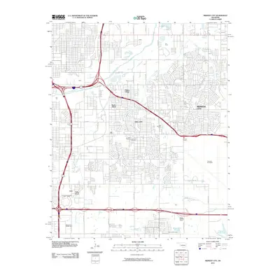
2010 Map of Midwest City
USGS Topo · Published 2010About this map
Midwest City and Del City anchor this 2010 depiction of the suburban Oklahoma City landscape, dominated by the expansive footprint of Tinker Air Force Base. The area’s aviation and industrial identity is further highlighted by the presence of the James Pasture Airport and the former General Motors assembly site. Interspersed among the dense residential grids are smaller enclaves such as Smith Village and Midway Village, which maintain distinct identities within the larger metropolitan sprawl.
Find a feature on this map
56 named features on this map. Tap any name to fly to it.
Don’t see what you’re looking for? This feature index may not catch every label — zoom into the map to look around manually.
Map Details
Editions of this 2010 Midwest City Map
This is the sole edition of this map. No revisions or reprints were ever made.
Other maps of this area

1892 · Moore
USGS Topo · 1:62,500

1892 · Edmond
USGS Topo · 1:62,500

1892 · Kingfisher
USGS Topo · 1:125,000

1893 · Oklahoma City
USGS Topo · 1:62,500

1895 · Kingfisher
USGS Topo · 1:125,000

1898 · Purcell
USGS Topo · 1:125,000

1904 · Chickasha
USGS Topo · 1:125,000

1934 · Crutcho Creek
USGS Topo · 1:24,000

1934 · Moore
USGS Topo · 1:62,500

1935 · Spencer
USGS Topo · 1:24,000