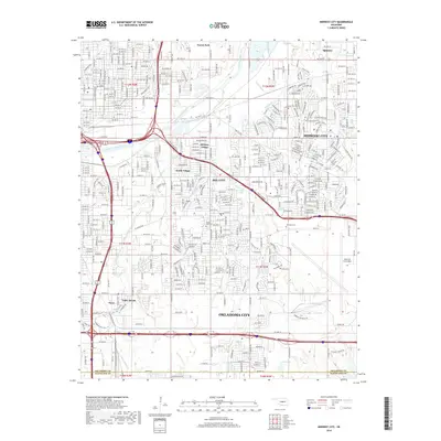
2018 Map of Midwest City
USGS Topo · Published 2018About this map
Midwest City and the surrounding urban landscape of eastern Oklahoma City are defined by the expansive presence of Tinker Air Force Base in the southeast quadrant. This 2018 survey illustrates a densely developed corridor where municipal boundaries weave between smaller incorporated areas like Del City, Smith Village, and Midway Village. The North Canadian River meanders through the northern section, flanked by Forest Park and Spencer, while numerous tributaries such as Crutcho Cr and Crooked Oak Cr drain the residential and industrial blocks. Local history is anchored by sites like Sunny Lane Cem and Kuhlman Cem, which sit amidst a grid that reflects decades of mid-century growth and modern expansion along the county line shared with Cleveland Co.
Find a feature on this map
104 named features on this map. Tap any name to fly to it.
Don’t see what you’re looking for? This feature index may not catch every label — zoom into the map to look around manually.
Map Details
Editions of this 2018 Midwest City Map
This is the sole edition of this map. No revisions or reprints were ever made.
Other maps of this area

1892 · Moore
USGS Topo · 1:62,500

1892 · Edmond
USGS Topo · 1:62,500

1892 · Kingfisher
USGS Topo · 1:125,000

1893 · Oklahoma City
USGS Topo · 1:62,500

1895 · Kingfisher
USGS Topo · 1:125,000

1898 · Purcell
USGS Topo · 1:125,000

1904 · Chickasha
USGS Topo · 1:125,000

1934 · Crutcho Creek
USGS Topo · 1:24,000

1934 · Moore
USGS Topo · 1:62,500

1935 · Spencer
USGS Topo · 1:24,000