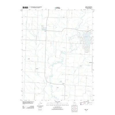
2012 Map of Mike
USGS Topo · Published 2012About this map
The winding course of Mussel Fork defines the rural landscape of Chariton County in this 2012 Missouri survey. The map records a transition from traditional farming hamlets to contemporary residential developments, most notably at the expansive Lake Nehai Tonayea and the nearby Pleasure Hills Estates Lake. These newer lakeside clusters contrast with older centers like Mike, Guthridge, and the small settlement of Trade.
Find a feature on this map
46 named features on this map. Tap any name to fly to it.
Don’t see what you’re looking for? This feature index may not catch every label — zoom into the map to look around manually.
Map Details
Editions of this 2012 Mike Map
This is the sole edition of this map. No revisions or reprints were ever made.
Other maps of this area

1890 · Glasgow
USGS Topo · 1:125,000

1890 · Marshall
USGS Topo · 1:125,000

1892 · Marshall
USGS Topo · 1:125,000

1901 · Marshall
USGS Topo · 1:125,000

1949 · Indian Grove
USGS Topo · 1:24,000

1949 · Rothville
USGS Topo · 1:24,000

1950 · Rothville
USGS Topo · 1:24,000

1951 · Brunswick East
USGS Topo · 1:24,000

1953 · Moberly
USGS Topo · 1:250,000

1953 · Marceline
USGS Topo · 1:24,000