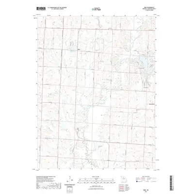
2021 Map of Mike
USGS Topo · Published 2021About this map
Mussel Fork meanders through the heart of this Chariton County landscape, defining a terrain of subtle ridges and floodplains. The small unincorporated community of Mike serves as a central point, while Musselfork sits along the eastern boundary. This area is deeply tied to its rural cemetery network, which provides essential data for genealogists tracing family histories in the region. Notable burial grounds include Mount Pleasant Cem, Locke Cem, Welch Cem, and Brooks Cem. The landscape is further shaped by numerous watercourses such as Hurricane Br, Skunk Cr, and Cottonwood Cr, which drain into the larger fork system. Modern residential footprints are visible at Pleasure Hills Estates Lake, contrasting with the more traditional agricultural roads like Guthridge Ave and Mike Rd that crisscross the countryside.
Find a feature on this map
72 named features on this map. Tap any name to fly to it.
Don’t see what you’re looking for? This feature index may not catch every label — zoom into the map to look around manually.
Map Details
Editions of this 2021 Mike Map
This is the sole edition of this map. No revisions or reprints were ever made.
Other maps of this area

1890 · Glasgow
USGS Topo · 1:125,000

1890 · Marshall
USGS Topo · 1:125,000

1892 · Marshall
USGS Topo · 1:125,000

1901 · Marshall
USGS Topo · 1:125,000

1949 · Indian Grove
USGS Topo · 1:24,000

1949 · Rothville
USGS Topo · 1:24,000

1950 · Rothville
USGS Topo · 1:24,000

1951 · Brunswick East
USGS Topo · 1:24,000

1953 · Moberly
USGS Topo · 1:250,000

1953 · Marceline
USGS Topo · 1:24,000