
1962 Map of Mikesville
USGS Topo · Published 1964About this map
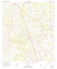
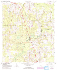
O'leno State Park anchors the central portion of this North Florida landscape, where the Santa Fe River winds toward the Union and Alachua county lines. The 1962 survey illustrates a region defined by scattered agrarian settlements and a network of country churches, including St Johns Ch and New Oak Grove Ch. Small crossroads like Mikesville and Ellisville serve as local hubs, connected by the historical Bellamy Road. The geography is notably shaped by subterranean hydrology, evidenced by the Robinson Sinks and the Buzzard Roost Prairie. Aviation history is represented by the Sky Road Inn Airfield, while the riverfront at Vinzant Landing reflects the local importance of the Santa Fe and Olustee Creek for regional drainage and recreation.
Find a feature on this map
34 named features on this map. Tap any name to fly to it.
Don’t see what you’re looking for? This feature index may not catch every label — zoom into the map to look around manually.
Map Details
Editions of this 1962 Mikesville Map
3 editions found
Other maps of this area

1954 · Gainesville
USGS Topo · 1:250,000

1954 · Valdosta
USGS Topo · 1:250,000

1958 · Valdosta
USGS Topo · 1:250,000

1958 · Gainesville
USGS Topo · 1:250,000

1959 · Valdosta
USGS Topo · 1:250,000

1959 · Gainesville
USGS Topo · 1:250,000

1962 · High Springs
USGS Topo · 1:24,000

1963 · Ellisville
USGS Topo · 1:24,000

1963 · Columbia
USGS Topo · 1:24,000
1966 · Worthington Springs
USGS Topo · 1:24,000