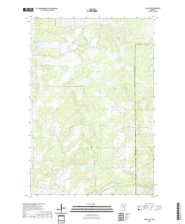
2022 Map of Milaca NE
USGS Topo · Published 2022About this map
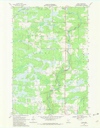
Cranberry Lake and the complex wetland systems of the Mikkelson Pool dominate this pocket of the upper Midwest. The landscape is defined by the winding course of the Groundhouse River and its major tributary, the W Fork Groundhouse River, which drain through a mosaic of low-lying marshes and forest. Human imprint on the land is represented by a rigid grid of rural roads, including Game Refuge Rd and St Forest Rd, which navigate the edges of these protected water resources. The boundary between Mille Lacs and Kanabec counties cuts through the eastern portion of the map, where the terrain transitions into the drainage area of Mike Drew Brook. This area remains largely defined by its conservation-focused infrastructure and natural watercourses.
Find a feature on this map
30 named features on this map. Tap any name to fly to it.
Don’t see what you’re looking for? This feature index may not catch every label — zoom into the map to look around manually.
Map Details
Editions of this 2022 Milaca NE Map
This is the sole edition of this map. No revisions or reprints were ever made.
Historical Maps of Ann Lake Township Through Time
16 maps found
1968 Isle SW
Mille Lacs County, MN
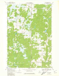
1968 Milaca NE
Mille Lacs County, MN
1968 Onamia NW
Mille Lacs County, MN
1968 Page
Mille Lacs County, MN
1968 Princeton NE
Mille Lacs County, MN
1968 Princeton SW
Mille Lacs County, MN
1968 Wahkon North
Mille Lacs County, MN
1968 Wahkon South
Mille Lacs County, MN

2022 Isle SW
Mille Lacs County, MN
2022 Milaca NE
Mille Lacs County, MN
2022 Onamia NW
Mille Lacs County, MN
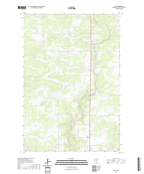
2022 Page
Mille Lacs County, MN
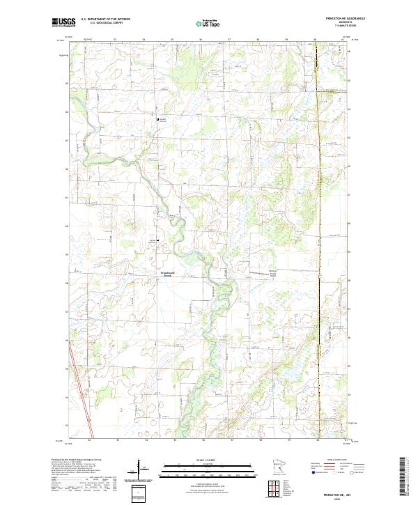
2022 Princeton NE
Mille Lacs County, MN
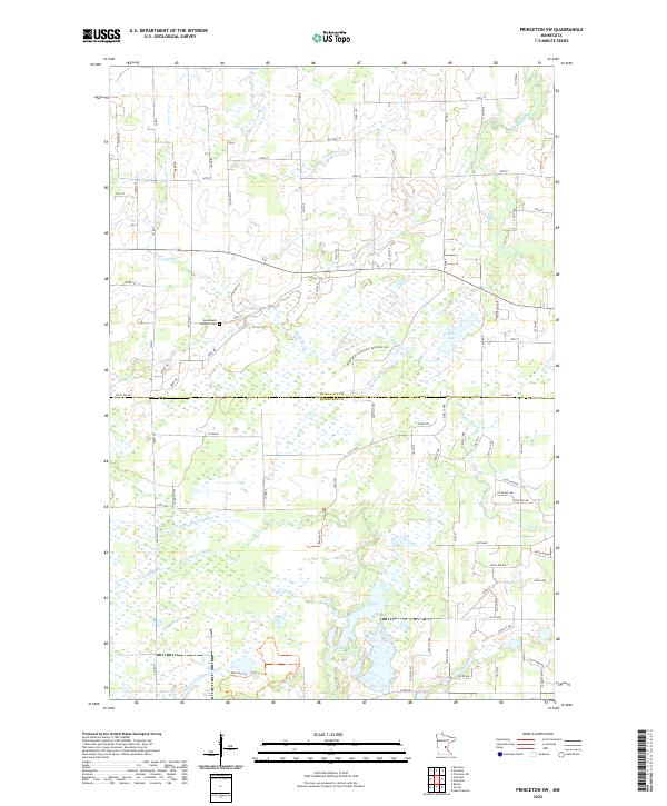
2022 Princeton SW
Mille Lacs County, MN
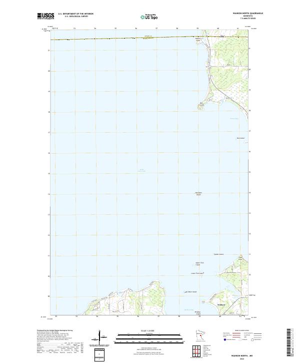
2022 Wahkon North
Mille Lacs County, MN
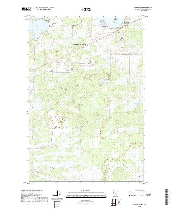
2022 Wahkon South
Mille Lacs County, MN