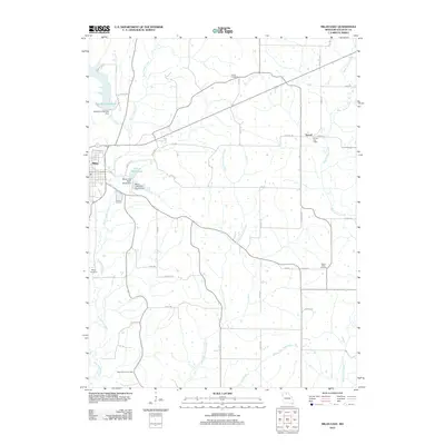
2012 Map of Milan East
USGS Topo · Published 2012About this map
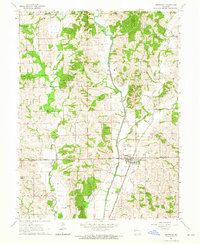
The agrarian landscape of Sullivan County is defined by its winding waterways and the intersection of small-town life near Milan. The town's water management is visible through features like the City of Milan Lake, held by the Milan Lake Dam-North Dam and South Dam, alongside the New Milan Reservoir. To the east, the settlement of Sorrell remains a localized point of interest, notably housing the Sorrell Post Office.
Find a feature on this map
47 named features on this map. Tap any name to fly to it.
Don’t see what you’re looking for? This feature index may not catch every label — zoom into the map to look around manually.
Map Details
Editions of this 2012 Milan East Map
This is the sole edition of this map. No revisions or reprints were ever made.
Other maps of this area

1912 · Green City
USGS Topo · 1:62,500

1914 · Green City
USGS Topo · 1:62,500

1954 · Centerville
USGS Topo · 1:250,000

1957 · Centerville
USGS Topo · 1:250,000

1958 · Centerville
USGS Topo · 1:250,000
1963 · Mystic
USGS Topo · 1:24,000
1963 · Winigan
USGS Topo · 1:24,000
1964 · Milan SE
USGS Topo · 1:24,000
1964 · Browning
USGS Topo · 1:24,000

1964 · Milan West
USGS Topo · 1:24,000