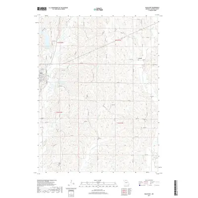
2017 Map of Milan East
USGS Topo · Published 2017About this map
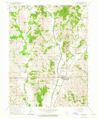
Milan serves as the primary hub in this portion of Sullivan County, situated where E Locust Cr and Elmwood Br meet the local road network. The landscape is defined by its water management and agricultural infrastructure, featuring the New Milan Reservoir and several municipal water bodies like the City of Milan Lake and Number 41 Lake. The surrounding countryside is dotted with rural settlements such as Sorrell and several family-named burial grounds, including Payne Cem, Hickory Grove Cem, and Deep Spring Cem. The intricate drainage patterns of Little E Locust Cr and W Yellow Cr illustrate the undulating terrain that dictates the layout of county routes like State Hwy Y and State Hwy J.
Find a feature on this map
73 named features on this map. Tap any name to fly to it.
Don’t see what you’re looking for? This feature index may not catch every label — zoom into the map to look around manually.
Map Details
Editions of this 2017 Milan East Map
This is the sole edition of this map. No revisions or reprints were ever made.
Other maps of this area

1912 · Green City
USGS Topo · 1:62,500

1914 · Green City
USGS Topo · 1:62,500

1954 · Centerville
USGS Topo · 1:250,000

1957 · Centerville
USGS Topo · 1:250,000

1958 · Centerville
USGS Topo · 1:250,000
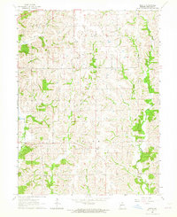
1963 · Mystic
USGS Topo · 1:24,000
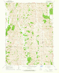
1963 · Winigan
USGS Topo · 1:24,000
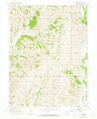
1964 · Milan SE
USGS Topo · 1:24,000
1964 · Browning
USGS Topo · 1:24,000

1964 · Milan West
USGS Topo · 1:24,000