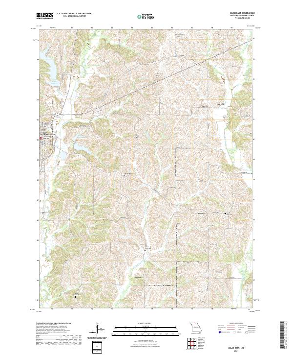
2021 Map of Milan East
USGS Topo · Published 2021About this map
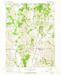
The Sullivan County Courthouse stands at the heart of Milan, serving as a central landmark for this rural landscape in north-central Missouri. The terrain is defined by the branching tributaries of the Locust Creek system, including E Locust Cr and Little E Locust Cr, which carve a rolling topography through the agricultural lands of Sullivan County. This 2021 update reveals the local water management through the New Milan Reservoir and the City of Milan Lake, both critical to the area's development. Scattered across the hillsides are numerous historic burial grounds such as Payne Cem, Oak Grove Cem, and Marlay Cem, offering essential touchpoints for genealogists researching family names tied to the unincorporated settlement of Sorrell and the surrounding farmland. A grid of county roads and state routes, including State Hwy CC and State Hwy T, provides the modern framework for navigating this long-established farming community.
Find a feature on this map
66 named features on this map. Tap any name to fly to it.
Don’t see what you’re looking for? This feature index may not catch every label — zoom into the map to look around manually.
Map Details
Editions of this 2021 Milan East Map
This is the sole edition of this map. No revisions or reprints were ever made.
Other maps of this area

1912 · Green City
USGS Topo · 1:62,500

1914 · Green City
USGS Topo · 1:62,500

1954 · Centerville
USGS Topo · 1:250,000

1957 · Centerville
USGS Topo · 1:250,000

1958 · Centerville
USGS Topo · 1:250,000
1963 · Mystic
USGS Topo · 1:24,000
1963 · Winigan
USGS Topo · 1:24,000
1964 · Milan SE
USGS Topo · 1:24,000
1964 · Browning
USGS Topo · 1:24,000

1964 · Milan West
USGS Topo · 1:24,000