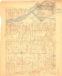
1912 Map of Milan
USGS Topo · Published 1912About this map
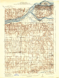
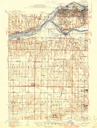
Rock Island and Moline anchor the northern industrial corridor of this 1912 survey, where the Mississippi River meets the confluence of the Rock River. The urban development of South Rock Island and South Moline is contrasted by the complex hydrology of the river channels, featuring landmarks like the U S Arsenal and the Blackhawk Watchtower. Southward, the landscape transitions into the agricultural and coal-producing uplands of Rock Island and Mercer Counties.
Find a feature on this map
96 named features on this map. Tap any name to fly to it.
Don’t see what you’re looking for? This feature index may not catch every label — zoom into the map to look around manually.
Map Details
Editions of this 1912 Milan Map
7 editions found
Other maps of this area

1890 · Durant
USGS Topo · 1:62,500

1891 · Davenport
USGS Topo · 1:62,500

1892 · Leclaire
USGS Topo · 1:62,500

1893 · Leclaire
USGS Topo · 1:62,500

1894 · Durant
USGS Topo · 1:62,500

1894 · Davenport
USGS Topo · 1:62,500

1899 · Clinton
USGS Topo · 1:125,000

1901 · Rock Island
USGS Topo · 1:125,000

1910 · Rock Island
USGS Topo · 1:125,000

1912 · Milan
USGS Topo · 1:62,500