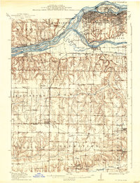
1912 Map of Milan
USGS Topo · Published 1938About this map
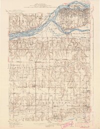
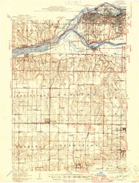
Mississippi River and Rock River dominate the northern landscape of this survey, defining a network of islands including Suburban Island, Pettifer Island, and Vandruff Island. The urban centers of Moline and Rock Island are shown as they expanded toward the river forks in the early twentieth century, while the U S Arsenal stands prominently on the riverfront. To the south, the terrain transitions into a dense grid of agricultural townships like Edgington and Preemption, where a high concentration of rural schoolhouses, such as Colony School and Excelsior School, served the farming community. The industrial character of the era is evident in the Coal Valley Mine and the convergence of multiple rail lines, including the Chicago Rock Island and Pacific RR and the Rock Island Southern RR, which linked settlements like Matherville and Taylor Ridge to the tri-city economy.
Find a feature on this map
91 named features on this map. Tap any name to fly to it.
Don’t see what you’re looking for? This feature index may not catch every label — zoom into the map to look around manually.
Map Details
Editions of this 1912 Milan Map
7 editions found
Other maps of this area

1890 · Durant
USGS Topo · 1:62,500

1891 · Davenport
USGS Topo · 1:62,500

1892 · Leclaire
USGS Topo · 1:62,500

1893 · Leclaire
USGS Topo · 1:62,500

1894 · Durant
USGS Topo · 1:62,500

1894 · Davenport
USGS Topo · 1:62,500

1899 · Clinton
USGS Topo · 1:125,000

1901 · Rock Island
USGS Topo · 1:125,000

1910 · Rock Island
USGS Topo · 1:125,000

1912 · Milan
USGS Topo · 1:62,500