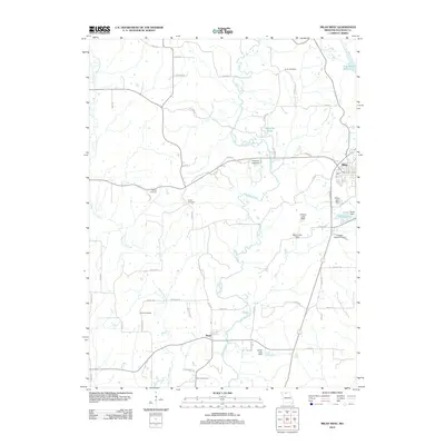
2012 Map of Milan West
USGS Topo · Published 2012About this map
Milan stands at the eastern edge of this Sullivan County landscape, a region defined by the meandering courses of Locust Creek and West Locust Creek. In the early 21st century, this area remains a mix of agricultural land and managed conservation, notably within the Locust Creek Wildlife Area. The map reveals a high concentration of small, family-named burial grounds including Lovell Cemetery, Wilhite Cemetery, and Glaze Cemetery, which provide vital touchpoints for local genealogists. Water management is a prominent theme, with several dams and reservoirs such as the New Milan Reservoir, Shatto Lake, and Detwiller Lake punctuating the drainage basins. Transportation is centered on the small settlement of Reger and the Cowgill-Roemer Airport, while a network of rural roads like Outlook Rd and Prairie Rd connect the scattered farmsteads and rural properties characteristic of northern Missouri.
Find a feature on this map
61 named features on this map. Tap any name to fly to it.
Don’t see what you’re looking for? This feature index may not catch every label — zoom into the map to look around manually.
Map Details
Editions of this 2012 Milan West Map
This is the sole edition of this map. No revisions or reprints were ever made.
Other maps of this area

1946 · Galt
USGS Topo · 1:62,500

1949 · Galt
USGS Topo · 1:62,500

1954 · Centerville
USGS Topo · 1:250,000

1957 · Centerville
USGS Topo · 1:250,000

1958 · Centerville
USGS Topo · 1:250,000
1964 · Milan SE
USGS Topo · 1:24,000

1964 · Harris
USGS Topo · 1:24,000
1964 · Browning
USGS Topo · 1:24,000

1964 · Milan West
USGS Topo · 1:24,000
1964 · Milan East
USGS Topo · 1:24,000