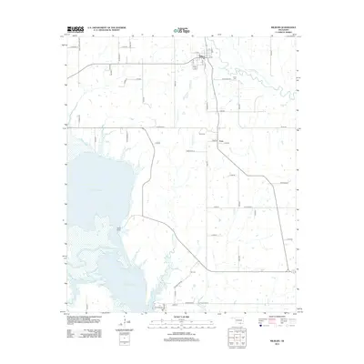
2012 Map of Milburn
USGS Topo · Published 2012About this map
Milburn and the surrounding Johnston County countryside are defined by the expansive northern reaches of Lake Texoma, where the Washita River creates a complex shoreline of inlets and marshy points. The map details the local infrastructure of the early 2010s, showing a grid of rural routes such as S Bullard Chapel Rd and Leonard Rd connecting small communities like Emet to the larger river systems.
Find a feature on this map
60 named features on this map. Tap any name to fly to it.
Don’t see what you’re looking for? This feature index may not catch every label — zoom into the map to look around manually.
Map Details
Editions of this 2012 Milburn Map
This is the sole edition of this map. No revisions or reprints were ever made.
Other maps of this area

1899 · Atoka
USGS Topo · 1:125,000

1900 · Atoka
USGS Topo · 1:125,000

1901 · Tishomingo
USGS Topo · 1:125,000

1957 · Ardmore
USGS Topo · 1:250,000

1963 · Ardmore
USGS Topo · 1:250,000
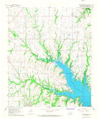
1967 · Tishomingo SW
USGS Topo · 1:24,000

1967 · Connerville SE
USGS Topo · 1:24,000

1967 · Tishomingo
USGS Topo · 1:24,000
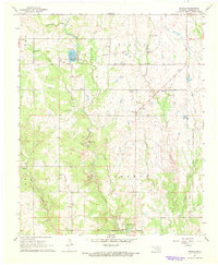
1967 · Reagan
USGS Topo · 1:24,000
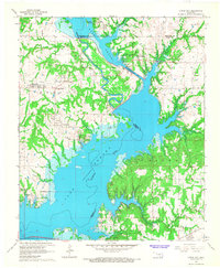
1967 · Little City
USGS Topo · 1:24,000