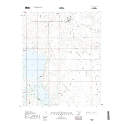
2018 Map of Milburn
USGS Topo · Published 2018About this map
Milburn serves as the primary settlement on this landscape, characterized by its grid of local streets including Chickasaw Ave and Main St alongside the course of Brushy Cr. To the south, the terrain opens into the Twelvemile Prairie, a distinct geographic feature that gives way to the broader riparian environments of the Washita River and its various tributaries. Small communities and historical gathering places such as Emet and Bee remain central to the local geography, each associated with their own burial grounds like the Bee Cem and Emet Cem.
Find a feature on this map
69 named features on this map. Tap any name to fly to it.
Don’t see what you’re looking for? This feature index may not catch every label — zoom into the map to look around manually.
Map Details
Editions of this 2018 Milburn Map
This is the sole edition of this map. No revisions or reprints were ever made.
Other maps of this area

1899 · Atoka
USGS Topo · 1:125,000

1900 · Atoka
USGS Topo · 1:125,000

1901 · Tishomingo
USGS Topo · 1:125,000

1957 · Ardmore
USGS Topo · 1:250,000

1963 · Ardmore
USGS Topo · 1:250,000
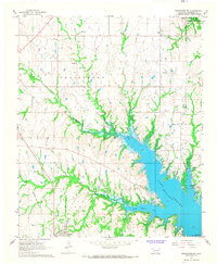
1967 · Tishomingo SW
USGS Topo · 1:24,000

1967 · Connerville SE
USGS Topo · 1:24,000

1967 · Tishomingo
USGS Topo · 1:24,000
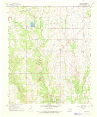
1967 · Reagan
USGS Topo · 1:24,000
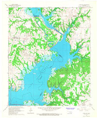
1967 · Little City
USGS Topo · 1:24,000