
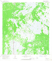
1959 Map of Miles City
USGS Topo · Published 1960About this map
Okaloacoochee Slough and the vast marshes of the Florida Everglades define this 1959 landscape, where the Atlantic Coast Line railroad cuts a straight north-south line through the swamp. The small settlement of Miles City sits at a critical junction near the Miles City Lookout Tower, serving as a remote outpost in a territory of strands and hammocks. Local landmarks like Model T Flat and Lone Chickee Island reflect the specific human history of this wet prairie, while numerous Indian Mounds throughout the Fakahatchee Strand and Bear Island Strand indicate long-standing indigenous presence in the region. Evidence of early industry and transportation is visible in the Old Railroad Grade and an Airway Beacon, marking the intersection of traditional swamp navigation and mid-century modern infrastructure.
Find a feature on this map
27 named features on this map. Tap any name to fly to it.
Don’t see what you’re looking for? This feature index may not catch every label — zoom into the map to look around manually.
Map Details
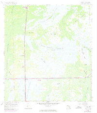
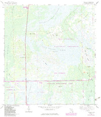
Editions of this 1959 Miles City Map
4 editions found
Other maps of this area

1956 · West Palm Beach
USGS Topo · 1:250,000

1957 · West Palm Beach
USGS Topo · 1:250,000

1958 · West Palm Beach
USGS Topo · 1:250,000

1958 · Catherine Island
USGS Topo · 1:24,000

1958 · Sunniland
USGS Topo · 1:24,000

1958 · Immokalee SW
USGS Topo · 1:24,000

1959 · Deep Lake
USGS Topo · 1:24,000

1959 · Deep Lake SW
USGS Topo · 1:24,000
1962 · Catherine Island
USGS Topo · 1:24,000

1974 · Immokalee 4 NW
USGS Topo · 1:24,000