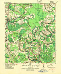
1940 Map of Mileston
USGS Topo · Published 1953About this map
Yazoo River meanders through this portion of the Mississippi Delta, revealing a landscape defined by flood control and early 20th-century agriculture. The intricate network of oxbow lakes, such as Eagle Lake, Wasp Lake, and Tchula Lake, traces the historic migrations of the riverbed, while modern engineering is evident in the Famosia Cut-Off and extensive drainage projects like Ditch No 18. The Yazoo and Mississippi Valley (Illinois Central) Railroad serves as the primary transit corridor, connecting the larger hub of Belzoni with smaller agrarian communities like Mileston, Thornton, and Silver City.
Find a feature on this map
67 named features on this map. Tap any name to fly to it.
Don’t see what you’re looking for? This feature index may not catch every label — zoom into the map to look around manually.
Map Details
Editions of this 1940 Mileston Map
This is the sole edition of this map. No revisions or reprints were ever made.
Other maps of this area
1940 · Seven Pines
USGS Topo · 1:62,500
1940 · Auter
USGS Topo · 1:62,500
1940 · Baird
USGS Topo · 1:62,500
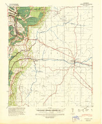
1940 · Lexington
USGS Topo · 1:62,500

1953 · Greenwood
USGS Topo · 1:250,000
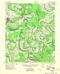
1954 · Mileston
USGS Topo · 1:62,500

1955 · Jackson
USGS Topo · 1:250,000

1956 · Greenwood
USGS Topo · 1:250,000
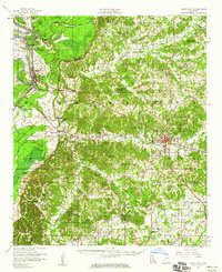
1957 · Lexington
USGS Topo · 1:62,500
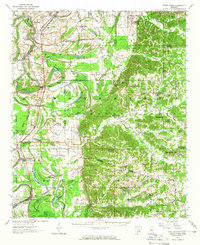
1957 · Seven Pines
USGS Topo · 1:62,500