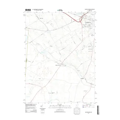
2013 Map of Milford Center
USGS Topo · Published 2013About this map
Big Darby Creek winds through the heart of Union County, anchoring a landscape defined by small clusters of settlement and significant genealogical landmarks. The village of Milford Center sits at a crossroads near the center of the sheet, marked by its Po and the Milford Center Cem. To the north and south, rural life is evidenced by several family and community burial grounds, including McDonald Cem and Robinson Cem, which offer critical touchpoints for researchers tracing the early inhabitants of the region.
Find a feature on this map
84 named features on this map. Tap any name to fly to it.
Don’t see what you’re looking for? This feature index may not catch every label — zoom into the map to look around manually.
Map Details
Editions of this 2013 Milford Center Map
This is the sole edition of this map. No revisions or reprints were ever made.
Other maps of this area

1913 · East Liberty
USGS Topo · 1:62,500

1913 · Richwood
USGS Topo · 1:62,500

1914 · Mechanicsburg
USGS Topo · 1:62,500

1915 · Richwood
USGS Topo · 1:62,500

1915 · East Liberty
USGS Topo · 1:62,500

1916 · Mechanicsburg
USGS Topo · 1:62,500

1916 · Milford Center
USGS Topo · 1:62,500

1944 · East Liberty
USGS Topo · 1:62,500

1944 · Mechanicsburg
USGS Topo · 1:62,500

1944 · Richwood
USGS Topo · 1:62,500