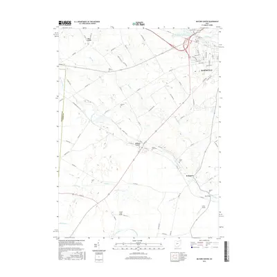
2016 Map of Milford Center
USGS Topo · Published 2016About this map
Milford Center and the growing outskirts of Marysville anchor this 2016 survey of central Union County. The landscape is defined by the convergence of several major watercourses, including Big Darby Creek, Little Darby Creek, and Mill Creek, which have historically dictated the placement of settlements and crossing points like Reed Bridge and Treacle Creek Bridge. The map reveals a high density of burial grounds, such as Oakdale Cem and Milford Center Cem, which serve as vital touchstones for family history in this agricultural corridor.
Find a feature on this map
88 named features on this map. Tap any name to fly to it.
Don’t see what you’re looking for? This feature index may not catch every label — zoom into the map to look around manually.
Map Details
Editions of this 2016 Milford Center Map
This is the sole edition of this map. No revisions or reprints were ever made.
Other maps of this area

1913 · East Liberty
USGS Topo · 1:62,500

1913 · Richwood
USGS Topo · 1:62,500

1914 · Mechanicsburg
USGS Topo · 1:62,500

1915 · Richwood
USGS Topo · 1:62,500

1915 · East Liberty
USGS Topo · 1:62,500

1916 · Mechanicsburg
USGS Topo · 1:62,500

1916 · Milford Center
USGS Topo · 1:62,500

1944 · East Liberty
USGS Topo · 1:62,500

1944 · Mechanicsburg
USGS Topo · 1:62,500

1944 · Richwood
USGS Topo · 1:62,500