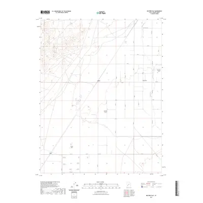
2023 Map of Milford Flat
USGS Topo · Published 2023About this map
The Escalante Desert dominates this corner of Beaver County, where the stark transition from the eastern flats to the elevated Star Range defines the landscape. The Beaver River winds through the eastern portion of the map, supported by the Trans-River Canal, indicating the critical role of water management in this arid environment. Small, dispersed settlements like Laho, Upton, and Milford Flat are situated along a structured grid of county roads, including Laho Rd and Co Rd 129. The presence of several distinct water features such as Tadpole Springs, Sand Pond, and Hay Springs suggests these were vital points for livestock and local agriculture in an otherwise dry basin. A notable geographic turn in the river is marked as Grassy Bend, providing a specific landmark for those tracing the historical movement of water and settlement in the region.
Find a feature on this map
25 named features on this map. Tap any name to fly to it.
Don’t see what you’re looking for? This feature index may not catch every label — zoom into the map to look around manually.
Map Details
Editions of this 2023 Milford Flat Map
This is the sole edition of this map. No revisions or reprints were ever made.
Other maps of this area

1885 · Beaver
USGS Topo · 1:250,000

1953 · Ninemile Knoll
USGS Topo · 1:24,000

1953 · Milford Flat
USGS Topo · 1:24,000

1953 · Minersville
USGS Topo · 1:24,000

1953 · Cave Canyon
USGS Topo · 1:24,000

1953 · Richfield
USGS Topo · 1:250,000

1958 · Richfield
USGS Topo · 1:250,000

1958 · Minersville
USGS Topo · 1:62,500

1958 · Thermo
USGS Topo · 1:62,500

1958 · Milford
USGS Topo · 1:62,500