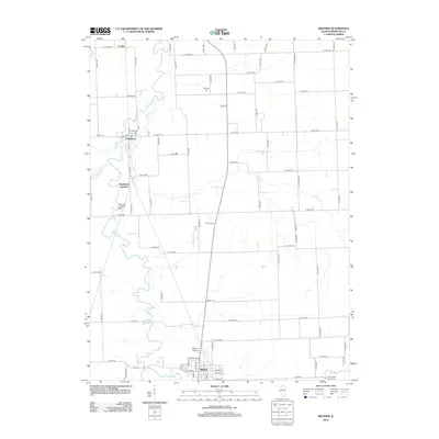
2012 Map of Milford
USGS Topo · Published 2012About this map
Milford anchors the southern portion of this Iroquois County landscape, situated along the banks of Sugar Cr where it winds through Illinois farmland. The town’s grid is clearly defined, with streets like Main St and W Walnut St providing a glimpse into the local commercial and residential layout during the early twenty-first century. To the north, the settlement of Woodland sits near the confluence of local tributaries, while Woodland Junction and Coaler mark smaller clusters of activity.
Find a feature on this map
77 named features on this map. Tap any name to fly to it.
Don’t see what you’re looking for? This feature index may not catch every label — zoom into the map to look around manually.
Map Details
Editions of this 2012 Milford Map
This is the sole edition of this map. No revisions or reprints were ever made.
Other maps of this area

1935 · Watseka
USGS Topo · 1:48,000

1938 · Milford
USGS Topo · 1:48,000

1939 · Watseka
USGS Topo · 1:62,500

1939 · Cissna Park
USGS Topo · 1:62,500

1944 · Milford
USGS Topo · 1:62,500

1944 · Gilman
USGS Topo · 1:62,500

1946 · Gilman
USGS Topo · 1:62,500

1949 · Cissna Park
USGS Topo · 1:62,500

1953 · Danville
USGS Topo · 1:250,000

1955 · Danville
USGS Topo · 1:250,000