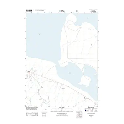
2012 Map of Milford
USGS Topo · Published 2012About this map
Milford is the central settlement in this eastern Lassen County landscape, situated along the edge of the expansive Honey Lake basin. The area exhibits a distinct transition from the shoreline to the rising slopes of the Diamond Mountains, marked by prominent drainages such as East Canyon, Stiles Canyon, and Otis Canyon. Transport and access are defined by Old Hwy 395 and the ascending Milford Grade, which serve as the primary conduits for the rural community. To the south, Laufman Campground indicates the local recreational use of the forest interface. The map also delineates The Island, a topographic high point within the seasonal bed of Honey Lake, and numerous seasonal creeks like McDermott Cr and Mill Cr that flow toward the basin floor during wet periods, illustrating the complex hydrology of this high-desert environment.
Find a feature on this map
20 named features on this map. Tap any name to fly to it.
Don’t see what you’re looking for? This feature index may not catch every label — zoom into the map to look around manually.
Map Details
Editions of this 2012 Milford Map
This is the sole edition of this map. No revisions or reprints were ever made.
Other maps of this area

1886 · Honey Lake
USGS Topo · 1:250,000

1891 · Honey Lake
USGS Topo · 1:250,000

1893 · Honey Lake
USGS Topo · 1:250,000

1950 · Milford
USGS Topo · 1:62,500

1954 · Wendel
USGS Topo · 1:62,500

1954 · Litchfield
USGS Topo · 1:62,500

1954 · Doyle
USGS Topo · 1:62,500

1955 · Westwood
USGS Topo · 1:250,000

1958 · Westwood
USGS Topo · 1:250,000

1959 · Westwood
USGS Topo · 1:250,000