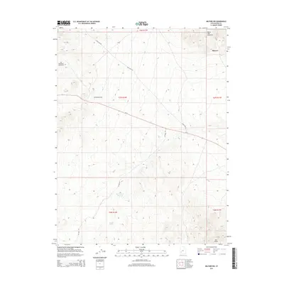
2014 Map of Milford NW
USGS Topo · Published 2014About this map
The Star Range and the eastern slopes of the San Francisco Mountains converge in this high-desert region of Beaver County. The small settlement of Blueacre sits at the northeastern edge of the quadrangle, positioned near the foot of the Beaver Lake Mountains. This landscape is defined by its drainage patterns and water scarcity, evidenced by the presence of The Big Wash Reservoir and the drainage of Hickory Wash. Transportation through this arid basin relies on a sparse network of routes, primarily Ut-21 and the winding Frisco Peak Rd, which provides access into the higher elevations. Geologic features like Carbonate Gulch underscore the mining-heavy history of the surrounding area, where the terrain transitions from broad alluvial washes to steep mountain ridges.
Find a feature on this map
16 named features on this map. Tap any name to fly to it.
Don’t see what you’re looking for? This feature index may not catch every label — zoom into the map to look around manually.
Map Details
Editions of this 2014 Milford NW Map
This is the sole edition of this map. No revisions or reprints were ever made.
Other maps of this area

1953 · Milford Flat
USGS Topo · 1:24,000

1953 · Richfield
USGS Topo · 1:250,000

1958 · Richfield
USGS Topo · 1:250,000

1958 · Milford
USGS Topo · 1:62,500

1958 · Milford
USGS Topo · 1:24,000

1959 · Frisco
USGS Topo · 1:62,500

1960 · Frisco Peak
USGS Topo · 1:62,500

1960 · Beaver Lake Mts.
USGS Topo · 1:62,500

1980 · Wah Wah Mts. South
USGS Topo · 1:100,000

1980 · Wah Wah Mts. North
USGS Topo · 1:100,000