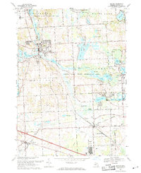
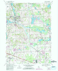
1969 Map of Milford
USGS Topo · Published 1971About this map
The village of Milford and the surrounding Oakland County landscape are defined by the winding course of the Huron River and a dense network of glacial lakes. By the late 1960s, the area shows a transition from traditional rural patterns to more developed residential corridors, particularly around Lake Sherwood and Loon Lake. Local institutional history is anchored by Milford High Sch and St Marys Ch, while the industrial and transport backbone remains the Chesapeake and Ohio railroad line running through the heart of Wixom.
Find a feature on this map
55 named features on this map. Tap any name to fly to it.
Don’t see what you’re looking for? This feature index may not catch every label — zoom into the map to look around manually.
Map Details
Editions of this 1969 Milford Map
5 editions found
Other maps of this area

1902 · South Lyon
USGS Topo · 1:62,500

1904 · Ann Arbor
USGS Topo · 1:125,000

1905 · Wayne
USGS Topo · 1:62,500

1906 · South Lyon
USGS Topo · 1:62,500

1907 · Pontiac
USGS Topo · 1:62,500

1908 · Ann Arbor
USGS Topo · 1:125,000

1909 · Milford
USGS Topo · 1:62,500

1912 · Wayne
USGS Topo · 1:62,500

1936 · Wixom
USGS Topo · 1:31,680

1936 · Highland
USGS Topo · 1:31,680
Featured Places
- Novi, MI
- Commerce Charter Township, MI
- White Lake Charter Township, MI
- Lyon Charter Township, MI
- Highland Charter Township, MI