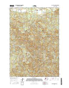
2017 Map of Mill City South
USGS Topo · Published 2017About this map
Mill City serves as the northern anchor for this study of the Oregon-Linn County border region, where the residential street grid of SE Kingwood St and SE 4th St meets the rising elevations of the Cascades. The landscape is defined by its drainage basins, notably the winding path of Thomas Creek and Rock Creek, which cut through a terrain punctuated by prominent landmarks such as Tom Rock, High Rock, and Potato Hill. Small-scale infrastructure like the Davis Airport and the Fairview Cem provide essential touchpoints for local genealogists and family historians investigating the area's rural development. A complex network of timber and access roads, including Monument Peak Rd and Turnridge Creek Rd, weaves through the township sections, illustrating the modern management of these heavily wooded hills and valleys.
Find a feature on this map
36 named features on this map. Tap any name to fly to it.
Don’t see what you’re looking for? This feature index may not catch every label — zoom into the map to look around manually.
Map Details
Editions of this 2017 Mill City South Map
This is the sole edition of this map. No revisions or reprints were ever made.
Other maps of this area

1929 · Mill City
USGS Topo · 1:125,000

1951 · Lyons
USGS Topo · 1:62,500

1951 · Snow Peak
USGS Topo · 1:62,500

1953 · Salem
USGS Topo · 1:250,000

1954 · Salem
USGS Topo · 1:250,000

1955 · Mill City
USGS Topo · 1:62,500

1956 · Quartzville
USGS Topo · 1:62,500

1960 · Salem
USGS Topo · 1:250,000

1962 · Salem
USGS Topo · 1:250,000

1963 · Salem
USGS Topo · 1:250,000