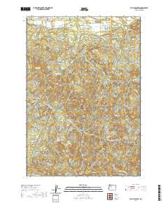
2020 Map of Mill City South
USGS Topo · Published 2020About this map
Mill City anchors the northern edge of this landscape, situated along the river and serving as the primary hub for the surrounding timberlands and valleys. The terrain transitions quickly from the town's grid, including SE Kingwood St and SE 4th St, into the dense drainage networks of Thomas Cr and Rock Cr. Cultural landmarks such as Fairview Cem and the Davis Airport are situated near the northern corridor, while the southern reaches are dominated by significant natural rises like Tom Rock and High Rock. The map illustrates a heavily managed forest environment, where roads like Monument Peak Rd and Xmas Tree Rd navigate the complex topography of the western Cascades foothills. This 2020 edition provides a clear view of how modern transportation corridors and small-scale aviation interface with the enduring natural drainages of Thomas Fork and Hall Cr.
Find a feature on this map
35 named features on this map. Tap any name to fly to it.
Don’t see what you’re looking for? This feature index may not catch every label — zoom into the map to look around manually.
Map Details
Editions of this 2020 Mill City South Map
This is the sole edition of this map. No revisions or reprints were ever made.
Other maps of this area

1929 · Mill City
USGS Topo · 1:125,000

1951 · Lyons
USGS Topo · 1:62,500

1951 · Snow Peak
USGS Topo · 1:62,500

1953 · Salem
USGS Topo · 1:250,000

1954 · Salem
USGS Topo · 1:250,000

1955 · Mill City
USGS Topo · 1:62,500

1956 · Quartzville
USGS Topo · 1:62,500

1960 · Salem
USGS Topo · 1:250,000

1962 · Salem
USGS Topo · 1:250,000

1963 · Salem
USGS Topo · 1:250,000