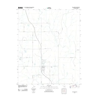
2012 Map of Mill Creek
USGS Topo · Published 2012About this map
Mill Creek serves as the primary hub in this Johnston County landscape, situated at the junction of local thoroughfares like E Main St and Grand Ave. The town is flanked by a dense network of watercourses, including Threemile Cr to the west and the meandering Pennington Cr to the east. For genealogists and local historians, the presence of the Mill Creek Cem and the Alberson & Lewis Cem provides significant points of interest for family research. The surrounding terrain is defined by its rural road system, with family-named routes such as Chisholm Rd, Daube Ranch Rd, and Jewel Sikes Rd suggesting a landscape long shaped by ranching and local landholdings. Further north, the settlement of Arnold sits nestled near the confluence of several small creeks, highlighting the historical importance of these water sources to the region's development.
Find a feature on this map
41 named features on this map. Tap any name to fly to it.
Don’t see what you’re looking for? This feature index may not catch every label — zoom into the map to look around manually.
Map Details
Editions of this 2012 Mill Creek Map
This is the sole edition of this map. No revisions or reprints were ever made.
Other maps of this area

1901 · Stonewall
USGS Topo · 1:125,000

1901 · Tishomingo
USGS Topo · 1:125,000

1957 · Ardmore
USGS Topo · 1:250,000

1963 · Ardmore
USGS Topo · 1:250,000

1963 · Sulphur South
USGS Topo · 1:24,000

1963 · Mill Creek
USGS Topo · 1:24,000

1963 · Troy
USGS Topo · 1:24,000

1963 · Nebo
USGS Topo · 1:24,000

1967 · Roff South
USGS Topo · 1:24,000

1967 · Connerville
USGS Topo · 1:24,000