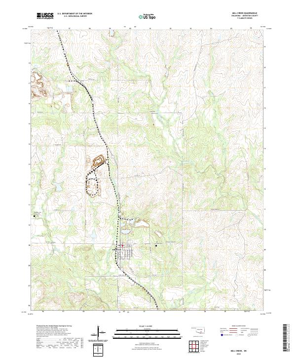
2022 Map of Mill Creek
USGS Topo · Published 2022About this map
The town of Mill Creek sits at the heart of this Johnston County landscape, oriented around a grid of streets including S Grand Ave and E Main St. This modern survey reveals a countryside defined by family-named routes and ranching ties, such as Daube Ranch Rd and Jewel Sikes Rd. For genealogists, the map provides precise locations for the Alberson and Lewis Cem and the Mill Creek Cem, both situated along the creek systems that drain the region.
Find a feature on this map
40 named features on this map. Tap any name to fly to it.
Don’t see what you’re looking for? This feature index may not catch every label — zoom into the map to look around manually.
Map Details
Editions of this 2022 Mill Creek Map
This is the sole edition of this map. No revisions or reprints were ever made.
Other maps of this area
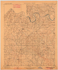
1901 · Stonewall
USGS Topo · 1:125,000
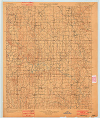
1901 · Tishomingo
USGS Topo · 1:125,000

1957 · Ardmore
USGS Topo · 1:250,000
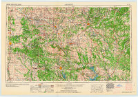
1963 · Ardmore
USGS Topo · 1:250,000
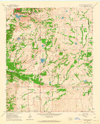
1963 · Sulphur South
USGS Topo · 1:24,000
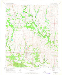
1963 · Mill Creek
USGS Topo · 1:24,000
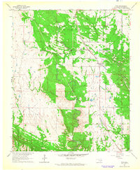
1963 · Troy
USGS Topo · 1:24,000
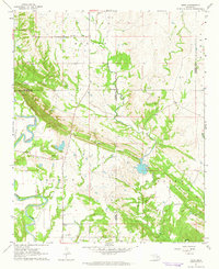
1963 · Nebo
USGS Topo · 1:24,000
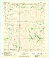
1967 · Roff South
USGS Topo · 1:24,000
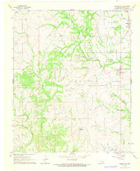
1967 · Connerville
USGS Topo · 1:24,000