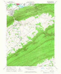
1965 Map of Mill Hall
USGS Topo · Published 1966About this map
Bald Eagle Creek and the Allison Canal define the northern valley corridor of this Clinton County landscape, where the borough of Mill Hall serves as a focal point for industry and transport. The Pennsylvania New York Central railroad tracks parallel the water, connecting the established neighborhoods of Flemington and Draketown with the agricultural stretches of the Nittany Valley. The terrain is dominated by the steep ascent of Bald Eagle Mountain, which separates the northern valley from the Lamar Valley and the expansive Bald Eagle State Forest.
Find a feature on this map
48 named features on this map. Tap any name to fly to it.
Don’t see what you’re looking for? This feature index may not catch every label — zoom into the map to look around manually.
Map Details
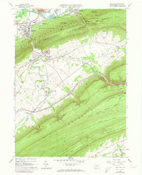
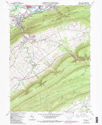
Editions of this 1965 Mill Hall Map
3 editions found
Other maps of this area

1921 · Howard
USGS Topo · 1:48,000

1921 · Lock Haven
USGS Topo · 1:62,500

1923 · Howard
USGS Topo · 1:62,500

1923 · Lock Haven
USGS Topo · 1:62,500

1924 · Centre Hall
USGS Topo · 1:62,500

1929 · Centre Hall
USGS Topo · 1:62,500

1937 · Millheim
USGS Topo · 1:48,000

1941 · Millheim
USGS Topo · 1:62,500

1943 · Lewistown
USGS Topo · 1:125,000

1944 · Lock Haven
USGS Topo · 1:62,500