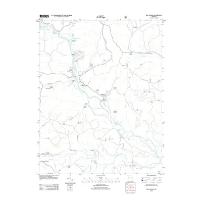
2012 Map of Mill Spring
USGS Topo · Published 2012About this map
The Black River carves a winding path through this portion of Wayne County, dictating the settlement patterns of Mill Spring, Leeper, and Gaylor. The terrain is defined by a dense network of hollows and ridges, many bearing family names like Evans Hollow, Johnson Hollow, and Kelley Valley, which suggest generations of local land use. Genealogical interest is high here, with numerous burial sites scattered across the landscape, including Bowles Cemetery, Self Cemetery, and Leeper Cemetery. North of the river, Piedmont Municipal Airport serves as a modern landmark, while the southern reaches of the map transitions into the more secluded geography of Bunkers Knob and the Middle Brushy Creek drainage. Notable topographic features such as The Gulf and Tacketts Pocket further illustrate the distinct karst-like hydrology of this Ozark region.
Find a feature on this map
71 named features on this map. Tap any name to fly to it.
Don’t see what you’re looking for? This feature index may not catch every label — zoom into the map to look around manually.
Map Details
Editions of this 2012 Mill Spring Map
This is the sole edition of this map. No revisions or reprints were ever made.
Other maps of this area

1932 · Piedmont
USGS Topo · 1:62,500

1934 · Williamsville
USGS Topo · 1:48,000

1935 · Piedmont
USGS Topo · 1:62,500

1940 · Williamsville
USGS Topo · 1:62,500

1943 · Ellington
USGS Topo · 1:62,500

1944 · Grandin
USGS Topo · 1:62,500

1945 · Ellington
USGS Topo · 1:62,500

1946 · Grandin
USGS Topo · 1:62,500

1949 · Rolla
USGS Topo · 1:250,000

1953 · Rolla
USGS Topo · 1:250,000