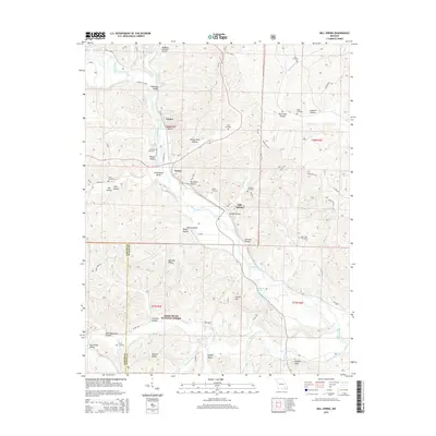
2015 Map of Mill Spring
USGS Topo · Published 2015About this map
The Black River snakes through this Ozark landscape, providing a central axis for the settlements of Leeper, Mill Spring, and Newtown. The topography is defined by complex drainage systems and family-named hollows, such as Mining Town Hollow and Stillhouse Hollow, which suggest the historic industrial and subsistence activities of the area. Significant portions of the southern terrain are preserved within the Mark Twain National Forest, where steep ridges like Benning Ridge and Hassell Ridge rise above the Big Brushy Creek valley.
Find a feature on this map
82 named features on this map. Tap any name to fly to it.
Don’t see what you’re looking for? This feature index may not catch every label — zoom into the map to look around manually.
Map Details
Editions of this 2015 Mill Spring Map
This is the sole edition of this map. No revisions or reprints were ever made.
Other maps of this area

1932 · Piedmont
USGS Topo · 1:62,500

1934 · Williamsville
USGS Topo · 1:48,000

1935 · Piedmont
USGS Topo · 1:62,500

1940 · Williamsville
USGS Topo · 1:62,500

1943 · Ellington
USGS Topo · 1:62,500

1944 · Grandin
USGS Topo · 1:62,500

1945 · Ellington
USGS Topo · 1:62,500

1946 · Grandin
USGS Topo · 1:62,500

1949 · Rolla
USGS Topo · 1:250,000

1953 · Rolla
USGS Topo · 1:250,000