Loading...
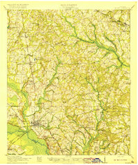
Loading map...1920 Map of Millen
USGS Topo · Published 1920About this map
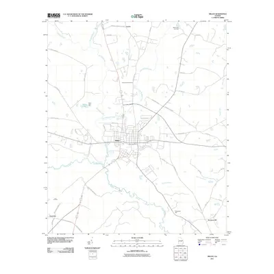
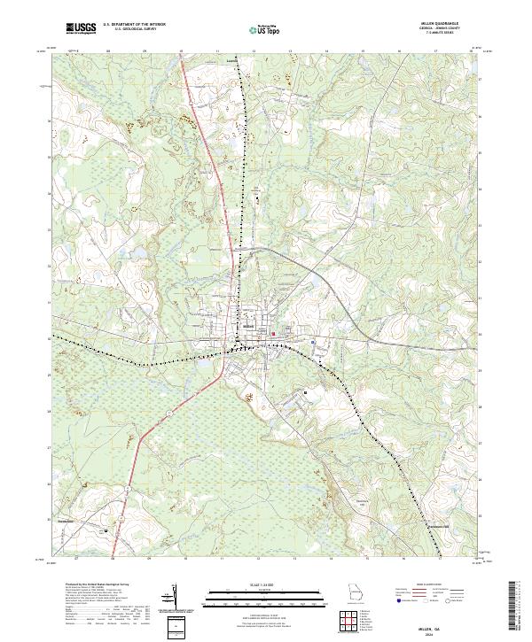
The Ogeechee river valley and the growing rail junction of Millen define this landscape just after World War I. Located at the intersection of the Central of Georgia and the Georgia and Florida railroads, Millen serves as a focal point for a rural agricultural region stretching across Jenkins, Burke, and Screven counties. To the north, Old Fort Lawton and Magnolia Spring provide historical and geographical anchors, while the countryside is dotted with a dense network of neighborhood institutions.
Find a feature on this map
71 named features on this map. Tap any name to fly to it.
Don’t see what you’re looking for? This feature index may not catch every label — zoom into the map to look around manually.
Map Details
Date Portrayed1920
Date Published1920
PublisherU.S. Geological Survey
Map TypeTopographic
Scale1:62,500
Physical Dimensions16.6 x 19.8 inches
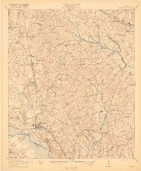
Editions of this 1920 Millen Map
2 editions found
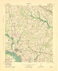
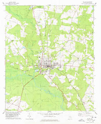
Historical Maps of Millen Through Time
9 maps found

Featured Locations
Source Details
SourceU.S. Geological Survey
CopyrightPublic Domain